Jan de Beijer
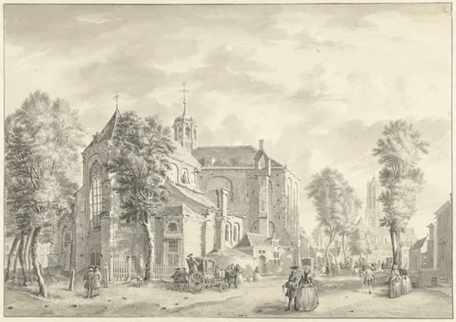
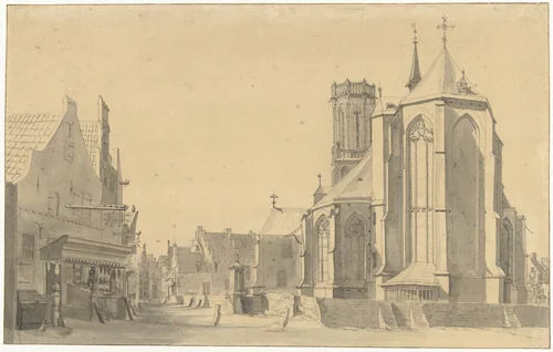
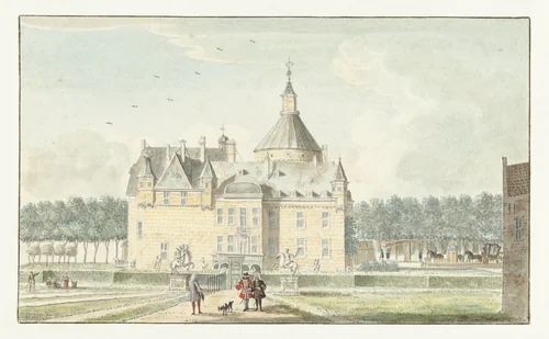
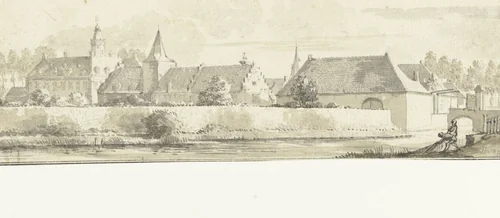
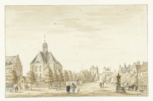
Jan de Beijer (also known as Jan de Beyer) stands as a monumental figure in eighteenth-century Dutch topographical drawing, recognized for his systematic and vast documentation of the built environment across the historical Netherlands, Belgium, and adjacent German territories. Active primarily between 1713 and 1738, this prolific draughtsman moved beyond mere picturesque sketching to become a meticulous historical chronicler of his era, specializing in detailed views of civic architecture and regional infrastructure.
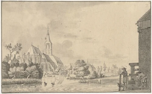
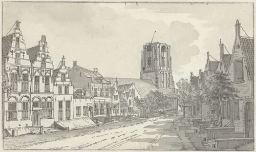
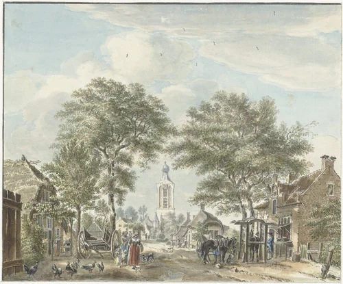
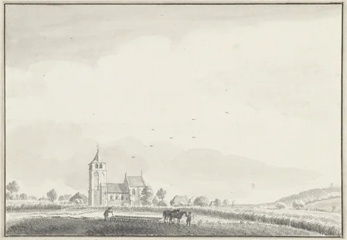
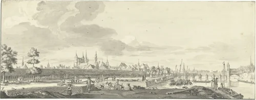
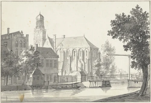
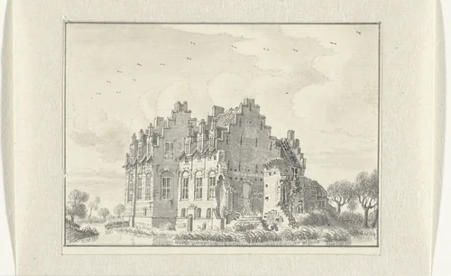
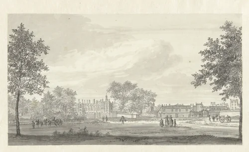
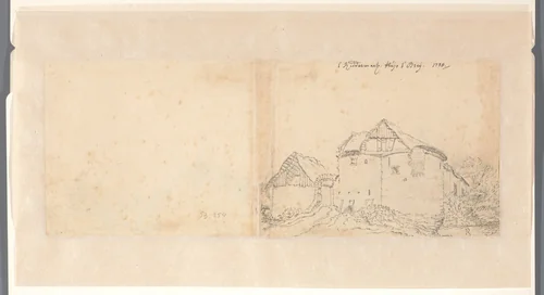
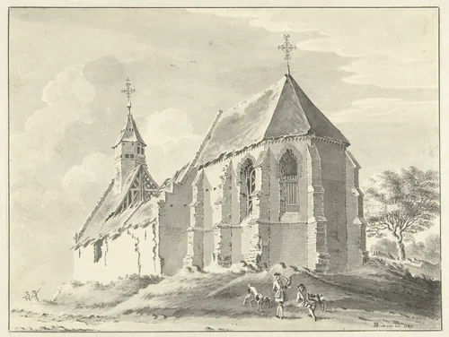
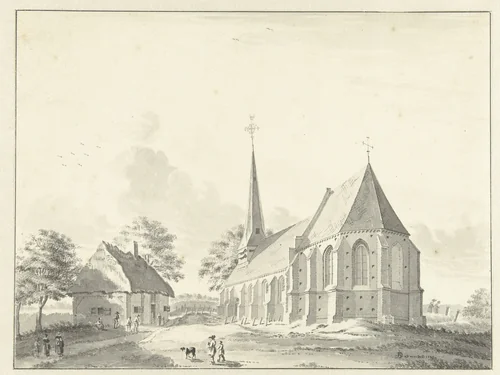
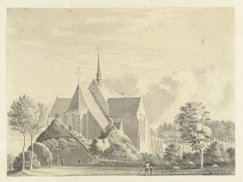
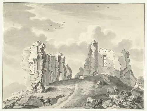
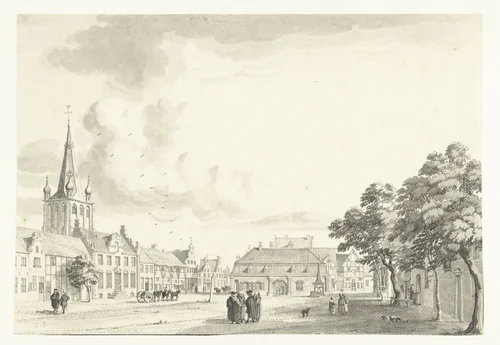
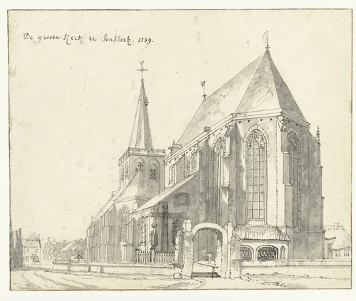
De Beijer utilized ink, pen, and wash to create precise, often documentary, depictions of specific urban and rural landmarks. Works such as Gezicht op Scherpenzeel and Gezicht op het Bat en de Maasbrug te Maastricht exemplify his commitment to accuracy, capturing critical geographic sites and architectural features before the extensive urban transformations of the industrial age. His drawings functioned as an invaluable visual inventory, combining artistic refinement with geographic reference.
The true scale of De Beijer’s achievement lies in his extraordinary industry and his integral role in the visual publishing trade. He is credited with producing an astonishing volume of work, estimated at around 1500 individual drawings during his career. However, he was not solely interested in collecting original artworks; rather, he was a key figure in generating reproducible imagery. Over 600 of these finished drawings were subsequently translated into copperplate engravings by collaborating artists, ensuring that his visual archive was broadly disseminated to a wide public audience. This strategic partnership allowed the distribution of high-quality prints and made De Beijer one of the most widely published architectural artists of his time.
Today, his original drawings are housed in major institutional collections, including the Rijksmuseum. De Beijer’s detailed, museum-quality oeuvre remains an indispensable resource for architectural historians. Much of this extensive visual catalogue is now accessible in the public domain, providing researchers, educators, and enthusiasts with royalty-free access to a foundational collection of early modern European topography.
Source: Wikipedia · CC BY-SA 4.0